Loading...
SKU:
NACH1202
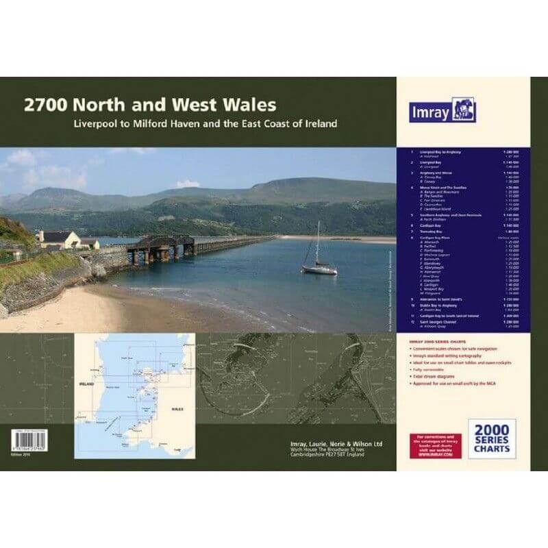
Imray 2700 North and West Wales Chart Pack
£59.95
Unit price
/
Unavailable
Tax included
Shipping calculated at checkout.
Imray 2700 North and West Wales Chart Pack is backordered and will ship as soon as it is back in stock.
Couldn't load pickup availability
Imray 2700 North and West Wales Chart Pack
£59.95
Unit price
/
Unavailable
Imray 2700 North & West Wales Chart Pack | YOT0859 ISBN 9781786794963
Covering the Welsh coast from Liverpool Bay to St David's in a folio of 12 handy wire-bound A2 charts in a sturdy plastic wallet.
The chart pack includes all the navigational charts and tidal data for passage, approach and mooring.
Idea for small craft.
Included
- 2700.1 Liverpool Bay to Anglesey including plan of Holyhead
- 2700.2 Anglesey and Menai including plans of Conwy Bay and Conwy
- 2700.3 Southern Anglesey and Llyen Peninsula including plan of Porth Dinllaen
- 2700.4 Cardigan Bay to South East of Ireland
- 2700.5 Cardigan Bay
- 2700.6 Aberaeron to St David's
- 2700.7 St George's Channel with plan of Kilmore Quay
- 2700.8 Menai Strait and The Swellies with plans of Bangor and Beaumaris, The Swellies, Port Dinorwic, Caernarfon, Llanddwyn Island
- 2700.9 Cardigan Bay plans Abersoch, Pwllheli, Porthmadog, Mochras Lagoon, Barmouth, Aberdovey, Aberystwyth, Aberaeron, New Quay, Aberporth, Cardigan, Newport Bay, Fishguard
- 2700.10 Tremadog Bay
- 2700.11 Dublin Bay to Anglesey with plan of Dublin Bay
- 2700.12 Liverpool Bay with plan of Liverpool
