Imray Chart C12 Eastern English
Imray Chart C12 Eastern English is backordered and will ship as soon as it is back in stock.
Couldn't load pickup availability
Imray Chart C12 Eastern English
Imray Chart C12 Eastern English
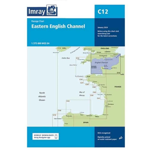
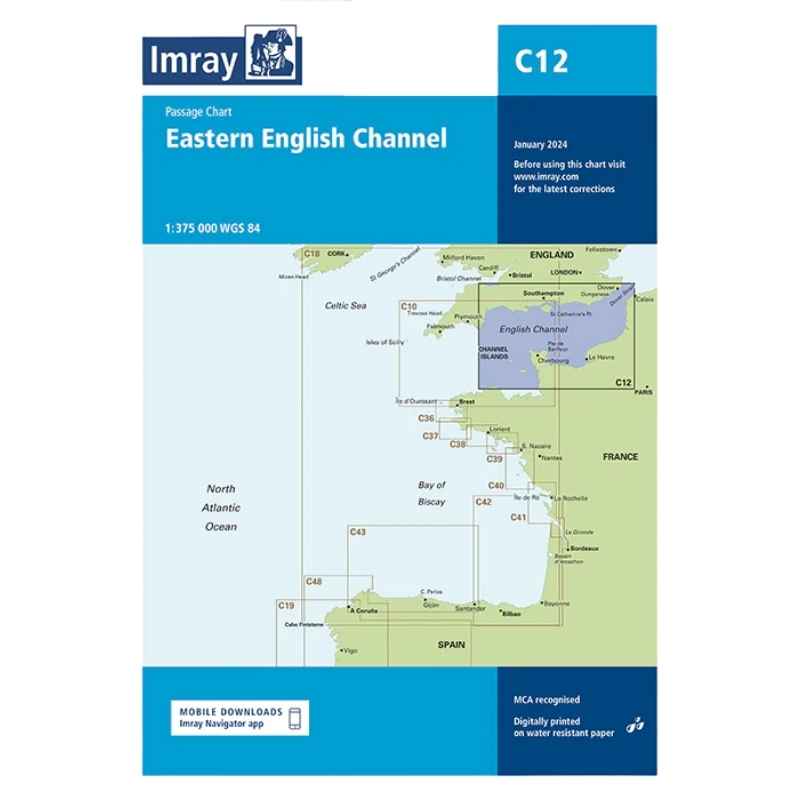
This chart has been reschemed alongside C10 Western English Channel Passage Chart so that both charts provide seamless coverage of the English Channel at the same scale (1:375,000).
Coverage on this chart allows for passage planning in the Eastern English Channel, from Start Point eastwards along the English coast, and from the Channel Islands eastwards along the French coast, to the Dover Strait. The latest official UKHO Digital is included, combined with additional information sourced from Imray's network to make it ideal for small craft. The chart has been fully revised throughout.
Plans:
- Dover Strait (1:300 000)
- Scale: 1:300,000 WGS84