Loading...
SKU:
NACH1201
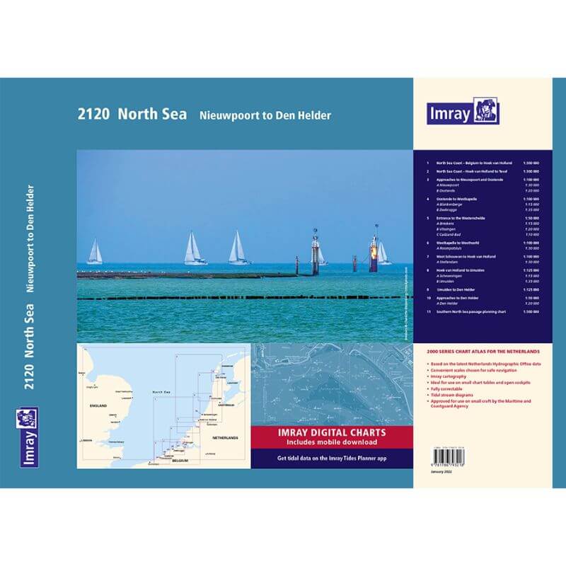
Imray 2120 North Sea Nieuwport to Den Helder Chart Pack
Regular price
£59.95
Unit price
Tax included
Shipping calculated at checkout.
Imray 2120 North Sea Nieuwport to Den Helder Chart Pack is backordered and will ship as soon as it is back in stock.
Pickup available at YouBoat Gosport
Usually ready in 24 hours

Imray 2120 North Sea Nieuwport to Den Helder Chart Pack
Regular price
£59.95
Unit price

Imray 2120 North Sea Nieuwport to Den Helder Chart Pack is backordered and will ship as soon as it is back in stock.
Imray 2120 Nieuwpoort to Den Helder Chart Pack | YOT0862 ISBN 9781786795168
Covering the North Sea coast from the Belgian-French border to Den Helder, including Zeeland, South Holland and North Holland, in a folio of 11 handy wire-bound A2 charts in a sturdy plastic wallet.
The chart pack includes all the navigational charts and tidal data for passage, approach and mooring.
Included
- 2120.1 North Sea coast - Nieuwpoort to Hoek Van Holland
- 2120.2 North Sea coast - Noek Van Holland to Texel
- 2120.3 Approaches to Nieuwpoort and Oostende, including plans of Nieuwpoort and Oostende
- 2120.4 Oostende to Westkapelle including plans for Blankenberge and Zeebrugge
- 2120.5 Entrance to the Westerschelde including plans for Breskens, Vlissingen and Cadzand-Bad
- 2120.6 Westkapelle to Westhoofd including plan for Roompotsluis
- 2120.7 West Schouwen to Hoek Van Holland including plan of Stellendam
- 2120.8 Hoek Van Holland to IJmuiden including plan of Scheveningen and IJmuiden
- 2120.9 IJmuiden to Den Helder
- 2120.10 Approaches to Den Helder includes plan of Den Helder
- 2120.11 Southern North Sea passage planning chart
