SKU:
NACH1027
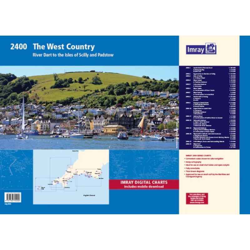
Imray 2400 West Country Chart Pack inc Dartmouth & Isles of Scilly
£59.95
Unit price
/
Unavailable
Tax included
Shipping calculated at checkout.
Imray 2400 West Country Chart Pack inc Dartmouth & Isles of Scilly is backordered and will ship as soon as it is back in stock.
Couldn't load pickup availability
Imray 2400 West Country Chart Pack | YOT0854 ISBN 9781786794000
Covering the River Dart to the Isles of Scilly and Padstow in a folio of 16 handy A2 charts in a sturdy plastic wallet.
The chart pack includes all the navigational charts and tidal data for passage, approach and mooring.
Ideal for small craft.
Included
- 2400.1 Land's End to Trevose Head, including Newquay Bay and St Ives plans
- 2400.2 Approaches to the Isles of Scilly
- 2400.3 Isles of Scilly
- 2400.4 River Camel, including Padstow Harbour plan
- 2400.5 Salcombe Harbour, including Salcombe plan
- 2400.6 River Yealm
- 2400.7 River Fowey, including continuation plan to Lostwithiel
- 2400.8 Dartmouth to Fowey, inclduing Polperro and Looe plans
- 2400.9 Fowey to Lizard Point including Mevagissey Harbour and Gorran Haven plans
- 2400.10 Lizard Point to Land's End including Penzance, Newlyn Harbour and Mousehole plans
- 2400.11 Helford River including continuation to Gweek
- 2400.12 Falmouth Harbour including Mylor Yacht Harbour, Falmouth Marina and Falmouth Inner Harbour plans
- 2400.13 Plymoith Harbour includes plans of King Point and Millbay Marinas
- 2400.14 Plymouth to Saltash & Saint Germans including marina plans for Mayflower, Sutton Harbour, Queen Anne's Battery & Plymouth yacht Haven
- 2400.15 Saint Mary's, Tresco & Surrounding Islands
- 2400.16 River Dart including plans for Kingswear and continuation to Totnes


