Loading...
SKU:
NACH1199
Imray 2600 Bristol Channel Chart Pack
Regular price
£59.95
Unit price
Tax included
Shipping calculated at checkout.
Imray 2600 Bristol Channel Chart Pack is backordered and will ship as soon as it is back in stock.
Pickup available at YouBoat Gosport
Usually ready in 24 hours
Imray 2600 Bristol Channel Chart Pack
Regular price
£59.95
Unit price

Imray 2600 Bristol Channel Chart Pack is backordered and will ship as soon as it is back in stock.
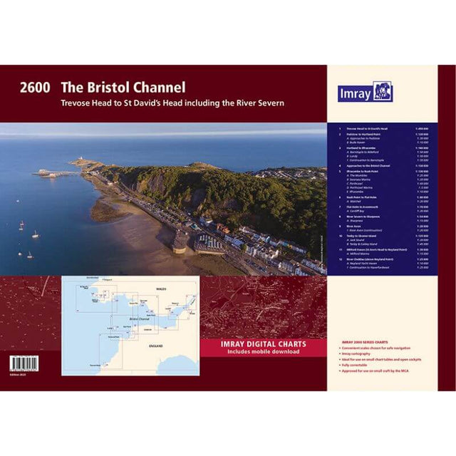
Imray 2600 Bristol Channel Chart Pack | YOT0858 ISBN 9781786794314
Covering the whole of the Bristol Channel from Trevose Head to River Cleddau and Sharpness in a folio of 12 handy wire-bound A2 charts in a sturdy plastic wallet.
The chart pack includes all the navigational charts and tidal data for passage, approach and mooring.
Ideal for small craft.
Included
- 2600.1 Trevose Head to St David's Head
- 2600.2 Padstow to Hartland Point including plans of Padstow and Bude Haven
- 2600.3 Hartland to Ilfracombe including plans of Barnstaple to Bideford and Lundy
- 2600.4 Approaches to the Bristol Channel
- 2600.5 Ilfracombe to Nash Point including plans of the Mumbles, Swansea Marina, Porthcawl and Ilfracombe
- 2600.6 Nash Point to Flat Holm including Watchet
- 2600.7 Flat Holm to Avonmouth including plan of Cardiff Bay
- 2600.8 River Severn to Sharpness including plan of Sharpness
- 2600.9 River Avion
- 2600.10 Tenby to Skomer Island with plans of Jack Sound, Tenby & Caldey Island
- 2600.11 Milford Haven - St Anne's Head to Neyland Point with plan of Milford Marina
- 2600.12 River Cleddau - above Neyland Point with plan of Neyland Yacht Haven